Gaisberg, Salzburg: Hiking Routes, Views & Day-Trip Guide
Plan a Gaisberg day trip from Salzburg: bus vs. hike-up routes, a full trail comparison table, sunset timing, and where to eat at the summit in 2026.
On this page
Gaisberg, Salzburg
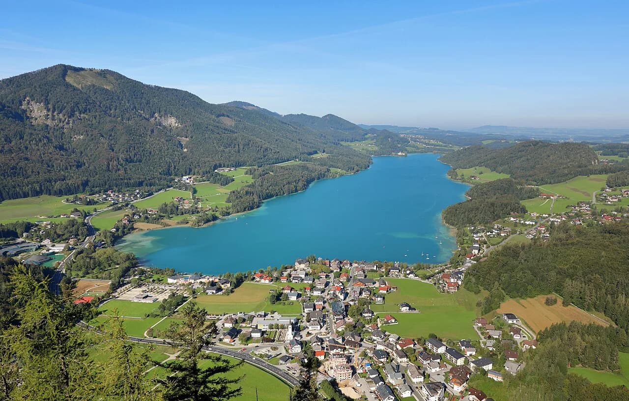
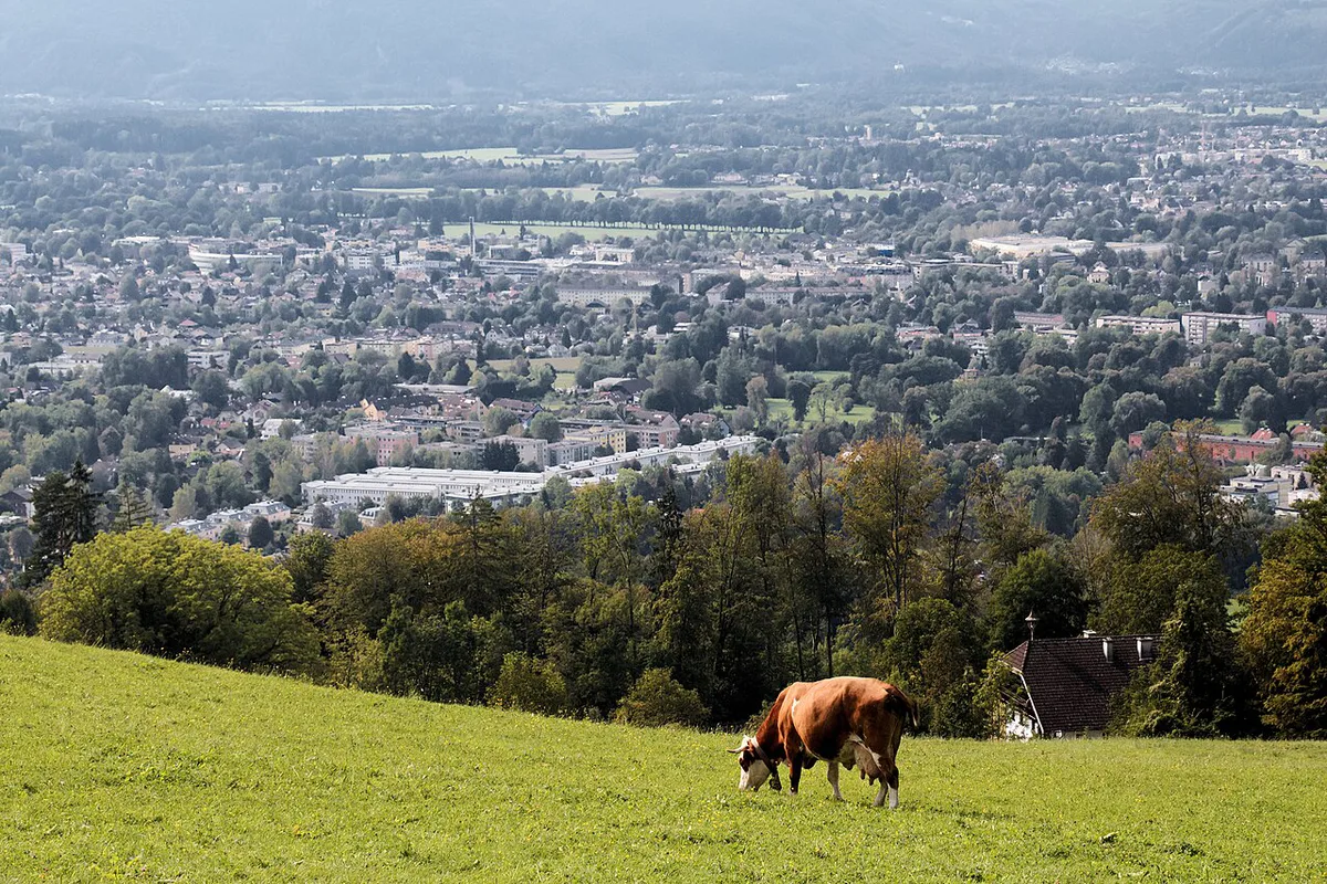
Last updated August 2026, this guide covers Gaisberg, Salzburg's 4,222-foot (1,287-meter) local mountain just east of the old town. Bus 151 or a short drive covers most of the climb, so no real hike is required to reach the top. From the summit, expect views over old-town rooftops, the Salzkammergut lakes, and on clear days the Bavarian Alps.
Gaisberg at a Glance
A few numbers cover most of the planning question. Routes, costs, and timing details follow in the sections below.
- Elevation: 4,222 feet (1,287 meters), part of the Salzkammergut Mountains
- Travel time from the old town: about 30 minutes by Bus 151 or by car
- Vertical gain, Zistelalm to summit: about 1,150 feet (350 meters)
- Best season: May through October, with autumn valley fog as a bonus view
- Cost: free to hike up; Salzburg Card packages start from €35 and include Bus 151
What Is Gaisberg, Salzburg's Local Mountain?
Gaisberg rises to 4,222 feet (1,287 meters) east of Salzburg's old town, part of the Salzkammergut Mountains within the Northern Limestone Alps. Locals call it one of the city's Hausberge, a nearby peak built for recreation rather than serious alpinism. A paved road, the Gaisberg Panoramastraße, carries you to a parking area near the summit, so you rarely need hiking boots to see the view. This mountain fits naturally into a broader shortlist of lesser-known Salzburg spots.
How to Get to Gaisberg from Salzburg
Bus 151 leaves from Mirabellplatz in the old town and gets you to the Gaisberg area in about 30 minutes. You can ride to Gaisbergspitze for the summit or get off earlier at Zistelalm to start a hike. Driving to the summit parking area also takes roughly 30 minutes from the city center. With more time, you can start from Schloss Aigen instead, climbing to the top in about 2 hours, with a full round trip closer to 3.5 hours. Staying near Mirabellplatz cuts your walk to the bus stop to a few minutes. For other well-placed bases, see the guide to Salzburg's neighborhoods. The Steingasse district is another easy walk from the same stop. Travelers based in the Nonntal area can also reach Mirabellplatz by local bus before transferring onto the 151.
| Method | Time | Cost / Effort | Best For |
|---|---|---|---|
| Bus 151 (Mirabellplatz to Gaisbergspitze or Zistelalm) | About 30 minutes | Standard public-transport fare; included with the Salzburg Card | Fastest, no driving needed |
| Drive to summit parking | About 30 minutes | Parking fee posted on-site | Groups, flexible timing, gear |
| Hike from Schloss Aigen | About 2 hours up, 3.5 hours round trip | Free | Budget hikers, extra exercise |
Best Hiking Routes on Gaisberg
Every marked trail on Gaisberg starts at a bus stop, so you can pick a route without arranging return transport. Elevation gain from Zistelalm to the summit runs about 1,150 feet (350 meters) on the connecting trail. Three short circular trails begin near the summit for an easy loop with no backtracking. Six longer one-way routes suit hikers who want more elevation gain or a point-to-point walk with a different bus back down. Confirm current trail markers at Zistelalm before setting out, since signage and bus stops occasionally shift. Route 12 sees noticeably less foot traffic than the Zistelalm loops. It suits readers chasing the off-the-beaten-path side of Salzburg.
A brief route like 13b takes about 30 minutes—a duration that neatly fits within the recommended sunset-arrival window, enabling casual hikers to enjoy the view unhurried.
| Route | Distance | Duration | Difficulty | Trailhead (Bus) | Best For |
|---|---|---|---|---|---|
| 13a Gaisberg Circular | 3.7 miles (5.9 km) | 1 to 1.5 hours | Easy | Zistelalm (Bus 151) | Families, quick loop |
| 13b Zistel Trail | 1.6 miles (2.6 km) | About 30 minutes | Easy | Zistelalm (Bus 151) | Short walk, kids |
| 13c Peak Circular | 0.6 miles (1 km) | About 15 minutes | Easy | Gaisbergspitze (Bus 151) | Casual summit walkers |
| Route 12 | 3.7 miles (6 km) | About 2.75 hours | Easy | Bildungscampus Gnigl (Bus 2 or 23 to Obergnigl) | Quiet, low-grade one-way walk |
| Route 13 | 3.7 miles (6 km) | About 2.5 hours | Moderate | Ludwig-Schmederer-Platz (Bus 6) | A steeper one-way option |
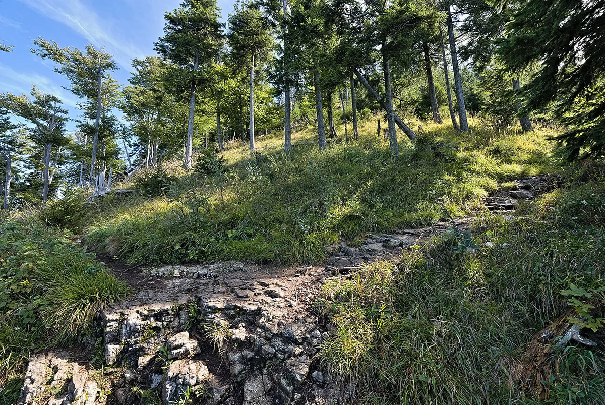
| Route 14 | 5 miles (8 km) | About 2.5 hours | Easy but rocky underfoot | Ludwig-Schmederer-Platz (Bus 6) | Longer easy walk, sturdy shoes |
| Route 15 | 6.8 miles (11 km) | About 2.75 hours | Easy | Aigen S-Bahn (Bus 7) | Long, low-grade day hike |
| Route 16 | 6.8 miles (11 km) | About 3 hours | Easy | Josef-Kaut-Strasse or Valkenauerstrasse (Bus 7) | Full-day easy hike |
| Route 17 / 17a | 6.8 miles (11 km) | About 3 hours | Moderate; steep and slippery above Zistelalm | Josef-Kaut-Strasse (17a) or Valkenauerstrasse (17), Bus 7 | Experienced hikers only |
Best Time to Go: Season and Sunset Timing
May through October offers the most stable hiking weather, with longer daylight and clearer summit views. Autumn brings crisp air and, on some mornings, a fog layer that settles below the peak while the top stays clear. Sunset draws crowds, so arrive at least 30 minutes early to claim a spot near the summit huts. Arrive after sunset instead and you trade the color for quieter trails and easier parking. Pack a layer even in summer, since the mountaintop runs noticeably cooler than the old town below. For a wider seasonal comparison across the city, see the crowd-free timing guide.
- May through October: the most stable weather and the longest daylight for hiking
- Arrive 30+ minutes before sunset to get a spot near the huts
- Arrive after sunset for quieter trails but a colder, dimmer walk down
- Autumn mornings can bring valley fog below a clear summit; check conditions before heading up
- Bring a blanket and a simple picnic if staying for sunset, since hut seating fills first
What to Do at the Top
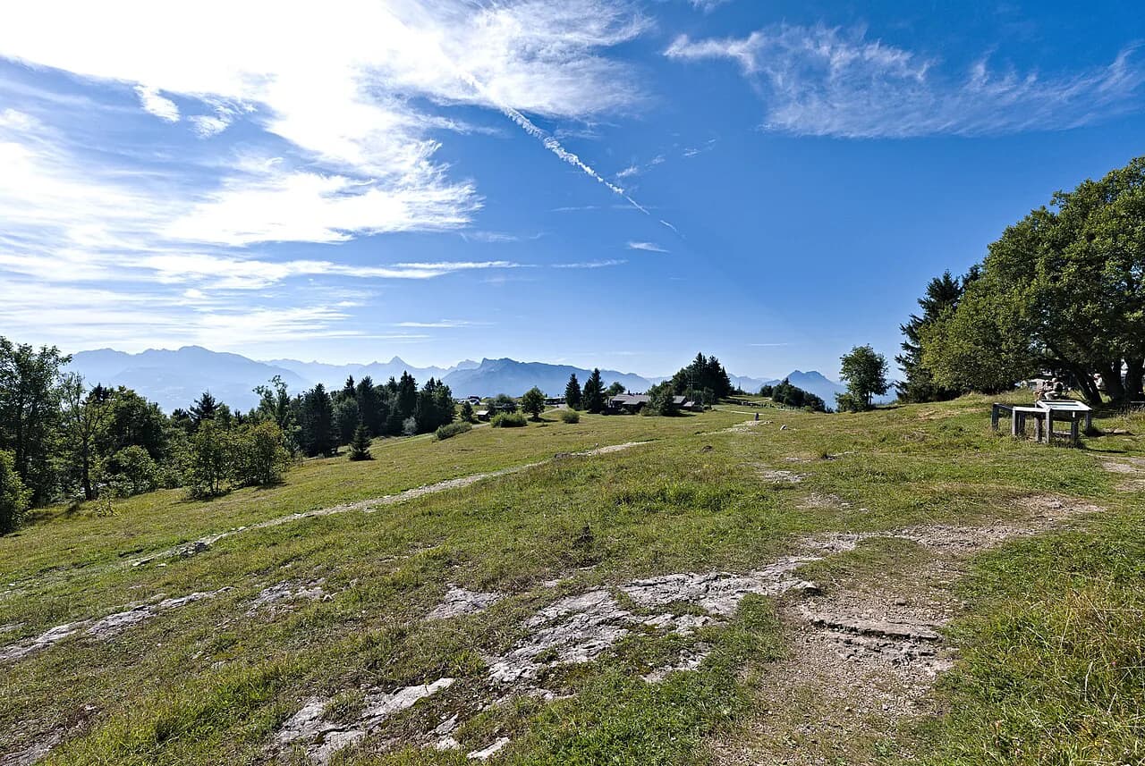
Paragliders launch from the summit meadow near the huts, and watching pilots lift off is worth the stop on its own. A 330-foot (100-meter) transmitter mast, built in 1956 and 1957, marks the high point and has doubled as a lightning-research site since 1998. You get an easy win with kids at Zistelalm, where a playground sits next to the trailhead and the restaurant terrace. Three short circular trails keep grades gentle enough for young kids and casual walkers who want the view without a real climb. Kapuzinerberg's in-town viewpoint is a lower-effort alternative when a bus ride up Gaisberg does not fit the day. Before the road existed, a rack railway carried day-trippers to the summit from 1887 until it closed in 1928. That route then hosted the Gaisberg hillclimb race from 1929 to 1969, revived as a historic event since 2003.
Where to Eat on Gaisberg
Several huts and restaurants operate on the mountain, so a meal is easy to build into any route. Named options include Kasnocknwirt, the Rauchenbühelhütte, Kohlmayr's Gaisbergspitz, and Goasnalm near the summit. Zistelalm and Gersbergalm double as restaurants and lodging, useful if you want a longer stay on the mountain. Menus and hours are set by each operator, so it is worth checking ahead. Back in the old town, the city's food guide rounds up more options. A separate roundup of trusted restaurant picks covers sit-down dinners after the hike. For a classic beer hall finish, the Augustiner beer hall in Mülln is a short trip away.
- Kasnocken: cheese-topped pan-fried noodles with crispy onions, Austria's answer to Käsespätzle
- Marend: a mountain snack board of cheeses, cured meats, bread, and pickles
- Kaiserschmarrn: shredded pancake with fruit compote, ordered as dessert or lunch
- Brettljause: a cold-cuts and cheese board, often paired with a Stiegl beer or an Almdudler
Beyond Hiking: Cycling and Winter Sports
Cycling has its own following on the mountain. Road cyclists treat the Panoramastraße switchbacks as a regular training climb, and mountain bikers share several of the same trails hikers use, especially on quieter weekdays. Winter turns Gaisberg into a different kind of outing. The mountain runs a program of ski touring and cross-country skiing through the colder months, according to salzburg.info. Routes stay groomed and tracked through the season, though conditions shift year to year. Check current snow reports before planning a winter visit. Paragliding also continues to launch from the summit meadow whenever wind and cloud cover cooperate.
Costs, Tickets, and Access at a Glance
A Salzburg Card is the simplest way to combine Gaisberg access with other sights in one purchase. As of 2026, salzburg.info lists Salzburg Card packages starting from €35. The card covers Bus 151, plus free or discounted entry to other Salzburg sights. Without the card, you pay the standard public-transport fare for Bus 151, worth checking on the current fare table before you leave. Drivers pay whatever parking fee is posted at the summit lot, typically less hassle than hunting for old-town parking. Overnight guests in registered Salzburg accommodation may also qualify for a local guest transit ticket covering Bus 151; confirm eligibility with your accommodation. Hiking up from Schloss Aigen costs nothing beyond good shoes, which also puts it on any list of Salzburg's free activities.
| Option | Cost | What You Get |
|---|---|---|
| Salzburg Card | Packages from €35 (salzburg.info, 2026) | Bus 151 plus discounted or free entry elsewhere |
| Bus 151 (no card) | Standard public-transport fare — check the current fare table | One ride to Zistelalm or Gaisbergspitze |
| Drive + summit parking | Parking fee posted on-site | Fastest for groups, no transit schedule to track |
| Hike from Schloss Aigen | Free | About 2 hours up, 3.5 hours round trip |
Mistakes to Avoid on a Gaisberg Day Trip
A few planning slips turn an easy Gaisberg outing into a frustrating one. Most trace back to skipping a decision before you board the bus or check conditions.
- No stop decided before boarding: Zistelalm suits hikers, Gaisbergspitze suits a summit-only visit
- No return-timetable check, risking a long wait at the top before the next bus
- Underdressing for the temperature swing between the old town and the summit
- Starting Route 17 without checking conditions, since the ground above Zistelalm turns steep and slippery
- Arriving right at sunset instead of 30 minutes early, competing for space at the huts
- Wandering off marked paths, which erodes terrain and risks getting turned around above Zistelalm
For trip-planning details, see Gaisberg – Wikipedia.
Frequently Asked Questions
Is a day trip to Gaisberg worth it?
Yes, for the payoff-to-effort ratio alone. Bus 151 gets you to the summit area in about 30 minutes. From there, the view over Salzburg's rooftops and the Salzkammergut lakes needs no real hike to enjoy. Pair it with a stop at Schloss Hellbrunn to fill out the day. A Fuschlsee day trip works well too if swimming or a lake view fits your plan.
How do you get to Gaisberg without a car?
Take Bus 151 from Mirabellplatz in Salzburg's old town. The ride to the Gaisberg area takes about 30 minutes, with stops at Zistelalm for hikers and Gaisbergspitze for the summit itself. Confirm the current timetable before you head up, since service runs less often than an inner-city line.
Which Gaisberg hiking route is best for beginners?
The three short circular trails near Zistelalm and Gaisbergspitze suit beginners best. Route 13b covers 1.6 miles (2.6 km) in about 30 minutes. Route 13c circles the peak in roughly 15 minutes over just 0.6 miles (1 km). Both stay on gentle, well-marked ground.
Can you hike up and take the bus down, or the other way around?
Yes, mixing modes is one of the easiest ways to do Gaisberg. Hike up from Zistelalm or Schloss Aigen, then catch Bus 151 back down once your legs are tired. Reversing it works too: ride up, then walk one of the circular trails back toward a lower stop.
What is the best time of day to see the Gaisberg sunset?
Arrive at least 30 minutes before sunset to claim a spot near the summit huts, since terraces fill up on clear evenings. Arriving after sunset instead trades the color for quieter trails and easier parking. Either way, bring a layer, since temperatures drop fast once the sun goes down.
Is Gaisberg suitable for kids or casual walkers?
Yes. Bus 151 removes most of the climb, and the three short circular trails near Zistelalm keep grades gentle. The playground next to Zistelalm gives younger kids a break between the bus and lunch, and clear signage makes casual walking straightforward.
What should you pack for a Gaisberg day trip?
Comfortable, closed-toe shoes cover most routes, with waterproof options useful after rain. Add a light jacket, since the summit runs cooler than the old town even in summer. Bring water, sunscreen, and some cash or a card for hut meals and bus fare.
Can you bring a dog or a bike on Gaisberg?
Dogs are welcome on a lead on most trails, with extra care around any livestock areas. The Panoramastraße is also a popular road-cycling climb, so cyclists and hikers share the route near the top. Descending riders should watch for walkers close to the summit.
What other day trips pair well with a Gaisberg visit?
Gaisberg pairs naturally with other Salzburg day trips if you have a longer stay planned. The Königssee day trip is a popular next stop for lake scenery beyond the city. Travelers with an extra day sometimes add both to one itinerary.
Continue exploring
More guides you'll find useful