Little Venice London Walk: Route Maps, Stops & Local Tips
Plan your Little Venice London walk along the Regent's Canal. Compare routes to Camden and Paddington Basin, with stops, logistics and local tips.
On this page
The Ultimate Little Venice London Walk Guide
Last updated October 2026: a Little Venice London walk gives you two clear choices from one starting point. Head east for the long towpath stroll to Camden, or take the short route to Paddington Basin. This guide compares both, explains the stages, and flags the practical snags, from narrow towpaths to wrong turns.
Where Little Venice sits and why it works for a walk
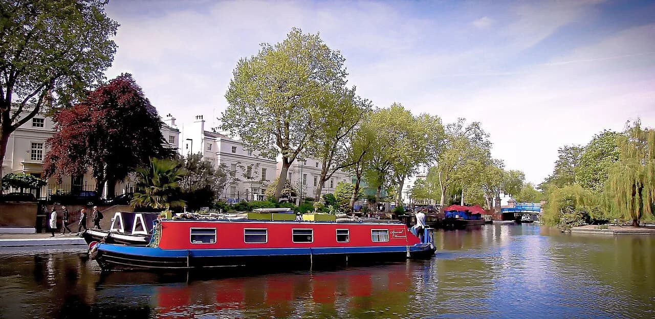
Little Venice is the junction of the Paddington Arm of the Grand Union Canal and the Regent's Canal. Moored houseboats, weeping willows and a quiet residential edge give it a calm, village-like feel. It is also one of the quieter corners of London that needs no ticket and no booking. Maida Vale sits beside the basin, and Lord's Cricket Ground is a nearby landmark. Both walks below start here and stay on flat, paved towpath for almost their full length.
Little Venice to Camden or Paddington Basin: which route?
Route A runs from Little Venice to Camden. It covers roughly 2.5 miles and takes 60 to 90 minutes at a walking pace. Route B runs to Paddington Basin and takes about 15 to 20 minutes. Pick Route A if you want a half-day outing. Pick Route B if you have a spare hour or want a quick photo loop.
| Detail | Route A: Little Venice to Camden | Route B: Little Venice to Paddington Basin |
|---|---|---|
| Distance | About 2.5 miles | Short; roughly 15-20 minutes on foot |
| Time | 60-90 minutes | 15-20 minutes |
| Terrain | Flat towpath | Flat towpath |
| Highlights | Regent's Park edge, ZSL London Zoo views, Camden Lock | Sheldon Square amphitheatre, modern architecture |
| Vibe | Scenic, gradually busier towards Camden | Modern, compact, office-led |
| Best for | Photographers, slow walkers, a full outing | Families, short breaks, mixed itineraries |
Stage-by-stage route map for the Regent's Canal walk
Break the walk into stages and it is easy to follow, or to turn into a map later. Stay on the water and keep it on your side as you go. Check the Canal & River Trust site before you set out. The trust occasionally closes sections for wall repairs, and access points can include steps, so confirm current conditions for your route.
- Stage 1: Start at the Little Venice basin. Walk round Browning's Island and look at the moored boats.
- Stage 2: Pass Rembrandt Gardens and the Puppet Theatre Barge.
- Stage 3 (Route A): Follow the Regent's Canal east along the edge of Regent's Park.
- Stage 4 (Route A): Pass the canal-side views of ZSL London Zoo.
- Stage 5 (Route A): Finish at Camden Lock, where the path gets much busier.
- Stage 3 (Route B): Follow the Paddington Arm towards Paddington Basin and finish at Sheldon Square.
Key landmarks on your Little Venice walk
Browning's Island is the triangular pool at the heart of the basin. Walk the edge slowly, because most of the classic houseboat views are here. Rembrandt Gardens is the best picnic spot on the walk, with benches and lawn close to the water. The Puppet Theatre Barge is a long-standing local institution moored near the basin. Check its current programme before you plan around a show. On Route A, canal-side views of ZSL London Zoo include the Snowdon Aviary. Check the zoo's current animal lineup before you promise anyone a particular sighting.
Getting there, timing and accessibility
Warwick Avenue on the Bakerloo line is the most iconic way in. Paddington Station is the alternative, and it suits Route B best. Walk early in the morning for photography and calm water. Go on weekdays to avoid the heaviest cyclist traffic. The towpath is paved and level, which helps wheelchair users and pushchairs. It can be narrow and crowded, though, so allow extra time. Check Transport for London for current station accessibility before you travel. For more camera ideas, see our guide to secret photography spots.
Route A covers 60 to 90 minutes; begin early on weekdays when the narrow towpath has lighter cyclist traffic and water is calmest for photos.
Where to refuel along the canal
Waterside cafes cluster around the basin, and pubs such as The Bridge House are the usual pint stop. Check current opening hours before you plan around any of them. For a bigger meal, browse our guide to lesser-known London restaurants. If you finish Route A at Camden, you can graze at stalls instead. Our London food markets guide covers the options. A free walk like this also fits a plan built around unusual free things to do.
Route B's 15 to 20 minutes barely leaves time for a cafe stop; Route A at Camden offers food-market grazing and restaurant variety if you plan a longer outing.
Mistakes to avoid on the towpath
Cyclists share a narrow path, so keep to one side and listen for bells. Wrong turns are the second risk. Stay on the Regent's Canal if you want Camden, and do not drift west along the Grand Union. Rain is the third. A wet towpath is slippery, so wear grippy shoes. If a downpour arrives, switch to indoor rainy-day options and come back another day.
Nearby London walks to link with this route
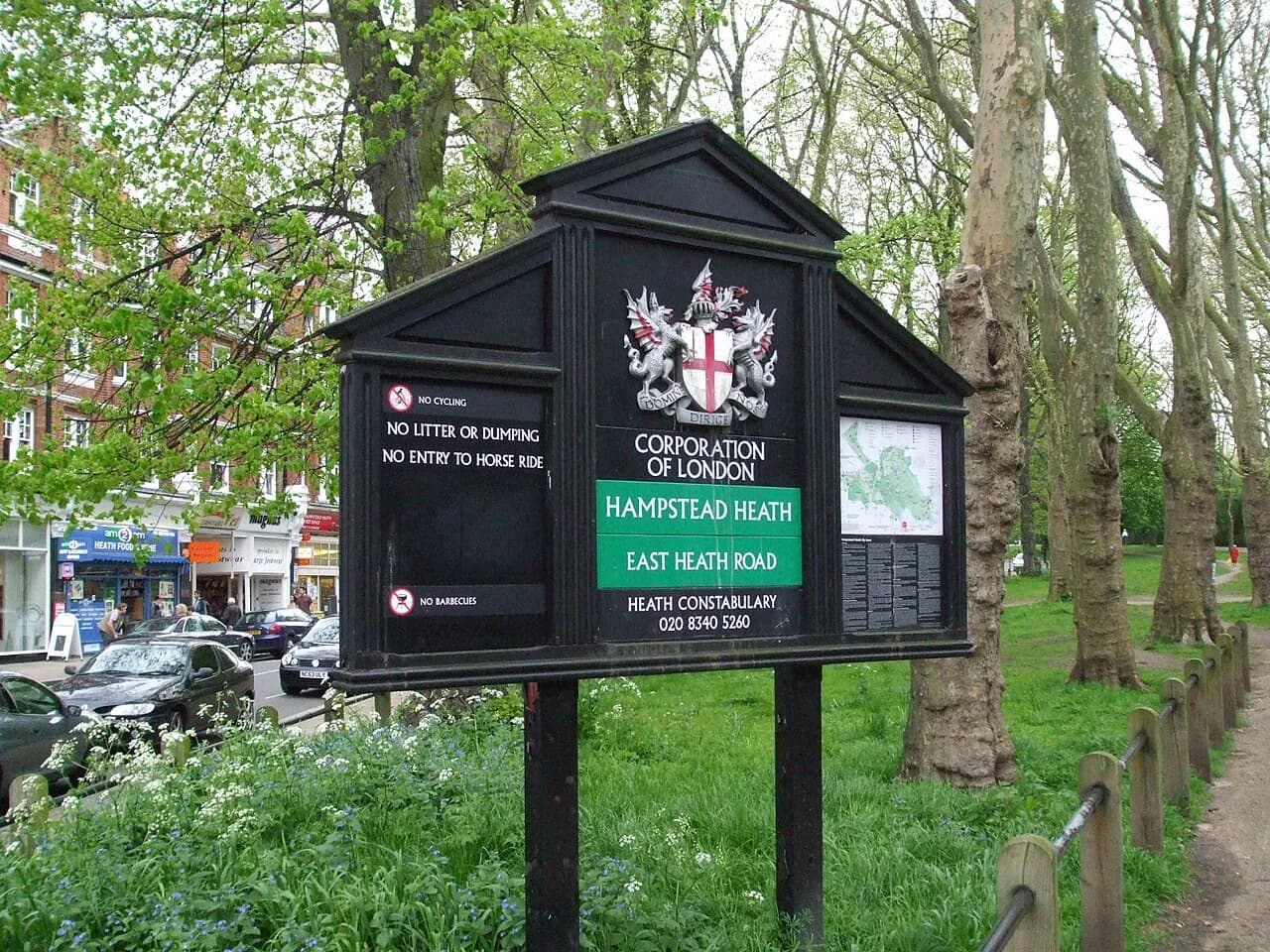
Little Venice pairs well with other quiet routes. Our secret London walks guide collects more urban routes. For a green-space day, try the Hampstead Heath Walk: 4 Routes, Stations and Mud Tips, then check the City of London Hampstead Heath page for current access. If you want to leave the usual circuit entirely, read our guide to off-the-beaten-path London.
For trip-planning details, see The Wallace Collection - The Wallace Collection.
Frequently Asked Questions
How long does a Little Venice London walk take?
It depends on your route. Little Venice to Camden is roughly 2.5 miles and takes 60 to 90 minutes. Little Venice to Paddington Basin takes about 15 to 20 minutes.
Which station is best for starting the walk?
Warwick Avenue on the Bakerloo line is the most iconic starting point. Paddington Station is the alternative, and it suits the shorter Paddington Basin route.
Is the canal towpath step-free?
The towpath is paved and flat, but it can be narrow and crowded. Some access points may involve steps. Check Transport for London and the Canal & River Trust for current details.
What should I do if it rains?
Wet towpaths get slippery, so consider postponing. Our rainy-day guide lists indoor alternatives. You can return to the walk on a drier weekday morning.
Can I walk to Camden without getting lost?
Yes. Keep following the Regent's Canal east. Avoid the Grand Union branch heading west, which leads away from Camden.
Continue exploring
More guides you'll find useful