Turia Gardens Valencia: A Complete Guide to the Riverbed Park
A 2026 guide to Turia Gardens in Valencia: the west-to-east route, Bioparc and Gulliver Park, Calatrava's bridges, free access, and the best time to go.
On this page
Turia Gardens, Valencia: A Complete Guide to the Riverbed Park
Last updated July 2026, this guide to the turia gardens valencia covers the riverbed park from Parque de Cabecera to the City of Arts and Sciences. The park replaced a channel the Turia River abandoned after the 1957 flood, and it now serves as the city's main running track, cycling corridor, and shaded meeting ground. Use the route breakdown below to match the time available, from a one-hour detour to a full end-to-end day.
What Are the Turia Gardens? A Flood Turned Into Parkland
The Turia Gardens, Jardí del Túria in Valencian, fill the old channel of the Turia River. The river cut through central Valencia until floodwater killed at least 81 people in the Great Flood of 1957. City planners rerouted the river south of the city under the Plan Sur project and first intended to pave the dry riverbed into a highway. Residents organized under the slogan "the riverbed is ours, and we want it green," and the garden opened in 1986 instead.
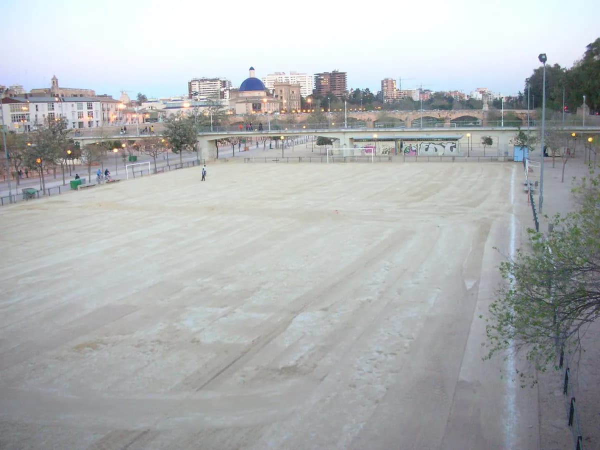
- Length: about 5.3 miles (8.5km) end to end. A final unbuilt stretch toward the port is planned to extend it closer to 6.2 miles (10km); check current progress before assuming that section is walkable.
- Width: roughly 525 feet (160m) on average.
- Area: about 336 acres (136 hectares), per Wikipedia's park listing.
- Visitors: more than three million a year, making it Spain's most-visited park, according to Wikipedia.
- Recognition: the gardens contributed to Valencia's 2024 European Green Capital designation, per Visit Valencia.
Turia Gardens Valencia: A West-to-East Route
The park splits into three practical stretches, and each rewards a different kind of visit. Walking or cycling west to east links nature, history, and modern architecture in a single route.
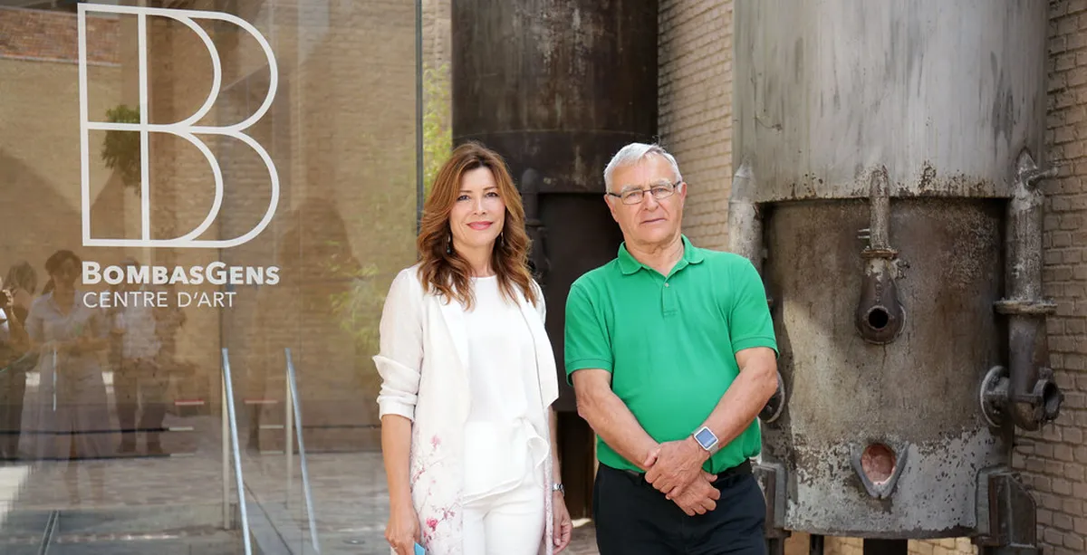
- The western end centers on Parque de Cabecera. Bioparc's Africa-themed animal enclosures sit here, alongside swan-shaped pedal boats on the park lake. This stretch suits families and catches good light at sunset. The Bombas Gens art center sits nearby for a cultural add-on.
- The central stretch runs from Serranos to the Museum of Fine Arts. It holds the Gothic-era Serranos Towers and the ponds around the Palau de la Música. Spain's second-largest art gallery sits just off the riverbed here. This stretch suits history-focused visits and access into the El Carmen quarter.
- The eastern end centers on the City of Arts and Sciences. Santiago Calatrava's futuristic complex marks this stretch, along with Gulliver Park's giant slide structure. This end suits photography and families with kids who want to run and climb.
Top Things to Do Along the Riverbed
Cycling is the only practical way to cover the full riverbed in a single visit. Dedicated bike lanes run apart from both the running track and street traffic. Valencia's Valenbisi bike-share system or a private rental shop can supply a bike for the day; check current Valenbisi pass rates before you go. Eighteen bridges cross the gardens, spanning five centuries of design. The table below compares a few worth a detour. Gulliver Park gives kids a giant, Lilliputian-scale figure to climb and slide down near the eastern end. Entry is free, but the park enforces capacity limits at busy times. Sections also close periodically for maintenance, so confirm current opening status before visiting. For more underrated stops across the city, see the Valencia hidden gems guide.
Spain's most-visited park attracts three million a year, yet capacity limits enforce restricted entry at peak times and maintenance closures block sections periodically, creating a frequent need for advance planning.
| Bridge | Era / Style | Worth Knowing |
|---|---|---|
| Pont de la Trinitat | 15th-century Gothic | Access stairs down to the bridge are currently closed pending a technical fix, per Wikipedia's bridge listing. |
| Pont de Serrans | Historic, recently pedestrianized | Now a pedestrian-only crossing near the Serranos Towers. |
| Pont del Nou d'Octubre | Built in 1989 | Santiago Calatrava's first bridge in the gardens, on the Bioparc side of the park. |
| Pont de l'Assut d'Or | Modern, Calatrava cable-stayed design | Known locally as the jamonero, near the City of Arts and Sciences. |
- Palau de la Música: a glass-walled concert hall surrounded by ponds, with a full annual program of symphonic and chamber concerts.
- Museum of Fine Arts: Spain's second-largest art gallery, with a room dedicated to Joaquín Sorolla plus works by Goya, Velázquez, and El Greco.
- Gulliver Park: a free, giant scale-model figure kids climb and slide down, near the City of Arts and Sciences.
Getting To and Around the Turia Gardens
The gardens sit below street level for most of their length, a legacy of the old riverbed. That lower grade buffers the park from traffic noise above. Every entry point is a ramp or a staircase rather than a level street crossing. Main access ramps sit near the Serranos Towers and near the City of Arts and Sciences, with stairs at many other points along the route. The park itself is free to enter, since it functions as open public space rather than a ticketed venue. Attractions inside or beside it charge separately. Bioparc and the City of Arts and Sciences museums both set their own admission fees and opening hours, so check each one's current listing before visiting. For a broader list of no-cost options nearby, see the guide to free activities in Valencia.
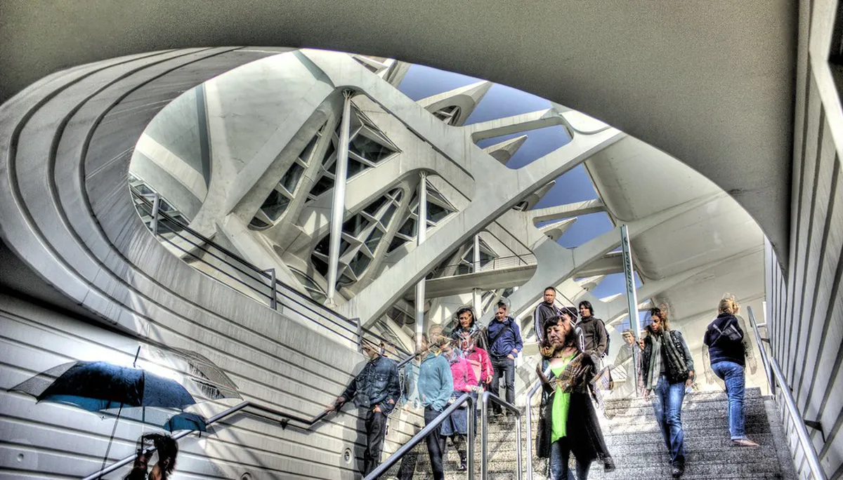
- Metro: lines L3 and L5 stop near the gardens.
- Bus: routes 11, 16, 26, 28, 70, 94, and 95 also serve the park, per Visit Valencia's transit listing.
- Bike share: Valenbisi docks line the route, and private rental shops offer full-day options too.
- Running surface: the Circuit 5K keeps runners separate from the cycling lanes.
Facilities and Food Near the Park
The route is set up for a long visit rather than a quick pass-through. Basic facilities are spaced along the length so a walk or ride does not require leaving the park.
- Chiringuitos: small kiosk cafes along the route for coffee, snacks, and shade breaks.
- Restrooms: available at several points along the park, marked by on-site signage.
- Water fountains: spaced along the walking and running paths, useful in summer heat.
How Much Time to Spend, and When to Go
With one hour, pick a single stretch rather than trying to see the whole route. With a full day, walk or ride end to end instead. Mornings suit runners and cyclists, when temperatures stay lower along the Circuit 5K running surface. Late afternoon brings shade and a busier, more social atmosphere as locals arrive after work. For guidance on avoiding peak crowds and summer heat citywide, see the guide to best time to visit Valencia. Travelers who want more green space beyond the riverbed can add Albufera Natural Park to the same trip. It's one of the routes covered in the guide to day trips from Valencia.
- One hour: pick a single stretch. The City of Arts and Sciences end gives the most photogenic architecture for the least walking; the Serranos to Museum of Fine Arts stretch suits a history-focused hour instead.
- Full day: walk or ride end to end, starting at Parque de Cabecera and finishing near the City of Arts and Sciences, or the reverse. Budget extra time and a separate admission fee if Bioparc or the science museum is part of the plan.
Mistakes to Avoid in the Turia Gardens
Do not plan to walk the full riverbed in summer without shade breaks and water. Midday heat across Valencia peaks in July and August, and the open stretches offer only patchy shade. Stay out of the Circuit 5K running surface if walking or cycling, and stay off the cycling lanes if on foot. The lanes are separated by design, so cross only at marked points and check both directions first. Some of the best views, and several of the museums covered above, sit at street level overlooking the park rather than inside the riverbed itself. Skipping the banks means missing the Serranos Towers terraces and the Museum of Fine Arts entirely. For a quieter, ticketed counterpoint to the open riverbed, see the guide to Jardines de Monforte. Pairing a riverbed walk with a stop in one of the surrounding districts fills out the visit. See Valencia's neighborhood breakdown for which district suits which interest. For a fuller meal beyond a chiringuito snack, see the guide to local restaurant picks. The local food guide breaks down options by neighborhood.
Running the Circuit 5K in Turia Gardens
The Circuit 5K is a dedicated running route through the Turia riverbed. Its cushioned surface offers a more comfortable option than the adjacent paved paths. Distance markers help runners plan intervals without relying entirely on a watch.
The route passes several central landmarks, including the Serranos area and Palau de la Música. It continues toward the eastern gardens near Gulliver Park and the City of Arts and Sciences. Street-level ramps provide convenient entry points for shorter out-and-back runs.
Early morning is usually the most comfortable period, especially during Valencia’s hot summer months. Some sections have tree cover, but exposed stretches can become warm quickly. Carry water and use the fountains along the gardens when available.
Keep the running surface clear if you are walking or cycling. Runners should also watch for pedestrians near bridges, playgrounds, and access ramps. Use marked crossing points when moving between the Circuit 5K, walking paths, and bicycle lanes.
Further reading: Valencia on Wikivoyage · Valencia on Wikipedia
Frequently Asked Questions
How long are the Turia Gardens in Valencia?
The gardens run about 5.3 miles (8.5km) through the old riverbed, with an average width of roughly 525 feet (160m). A final unbuilt stretch toward the port is planned to extend the total closer to 6.2 miles (10km), so check current progress before assuming that section is walkable.
Is the Turia Gardens free to visit?
Yes. The park itself has no entry fee, since it is open public space running through the city. Individual attractions inside or beside it, such as Bioparc and the City of Arts and Sciences museums, charge their own separate admission.
What is the best way to see the whole park in one day?
Cycling is the most realistic way to cover the full length in a single day. Valencia's Valenbisi bike-share system or a private rental shop can supply a bike, and dedicated bike lanes run apart from both the running track and street traffic.
Which section of the Turia Gardens is best for kids?
The eastern end near Gulliver Park and the City of Arts and Sciences works well for children, thanks to the giant slide structure and the architecture nearby. The western end at Parque de Cabecera is a close second, with Bioparc and the pedal-boat lake.
Where does the Turia Gardens start and end?
The gardens begin near the Mislata border by Parque de Cabecera and Bioparc, and run to the Passeig de l'Albereda near the City of Arts and Sciences and the Oceanogràfic, according to Wikipedia's park listing.
Continue exploring
More guides you'll find useful